
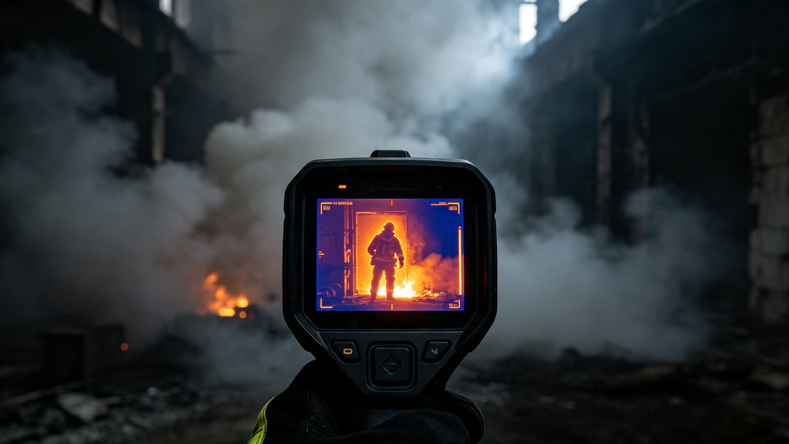
Forest fires are characterized by strong concealment and rapid spread. Some early fire sources are hidden under dead branches and fallen leaves with minimal smoke, making them difficult to detect. By the time thick smoke becomes visible to the naked eye, the fire has often already escalated. Thermal imaging technology can identify high-temperature hotspots to enable earlier and more accurate fire early warning.
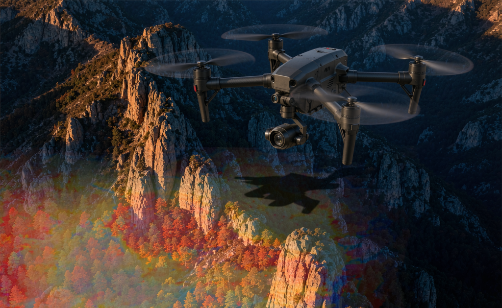
Currently, thermal imaging is deployed in two primary modes for forest fire prevention:
The first mode involves mounting thermal imaging pan-tilt cameras on mountain summits, observation towers or other high vantage points to scan forest areas round the clock. The system automatically identifies high-temperature zones and leverages AI algorithms to filter interfering heat sources such as sunlight, rocks and animals, lowering false alarm rates. Once a suspected fire spot is detected, an alert is triggered instantly with coordinate data provided.
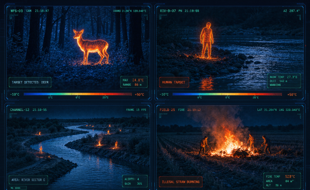
- Early detection: Capturing faint heat signatures and concealed fire sources
- All-weather monitoring: Functional at night, on cloudy days and under light mist
- Wide-area coverage: Filling blind spots left by manual patrols
- Precise positioning: Supplying location data to support fire-fighting command